Canadian Arctic Landforms and Environment
Exploring the Frozen North Grade 5 Science - Earth and Space Systems Understanding How Environment Shapes Land

What Do You Know About the Arctic?
Think about what you already know Share your ideas with a partner What types of land might exist in Canada's far north?

Canada's Arctic Region

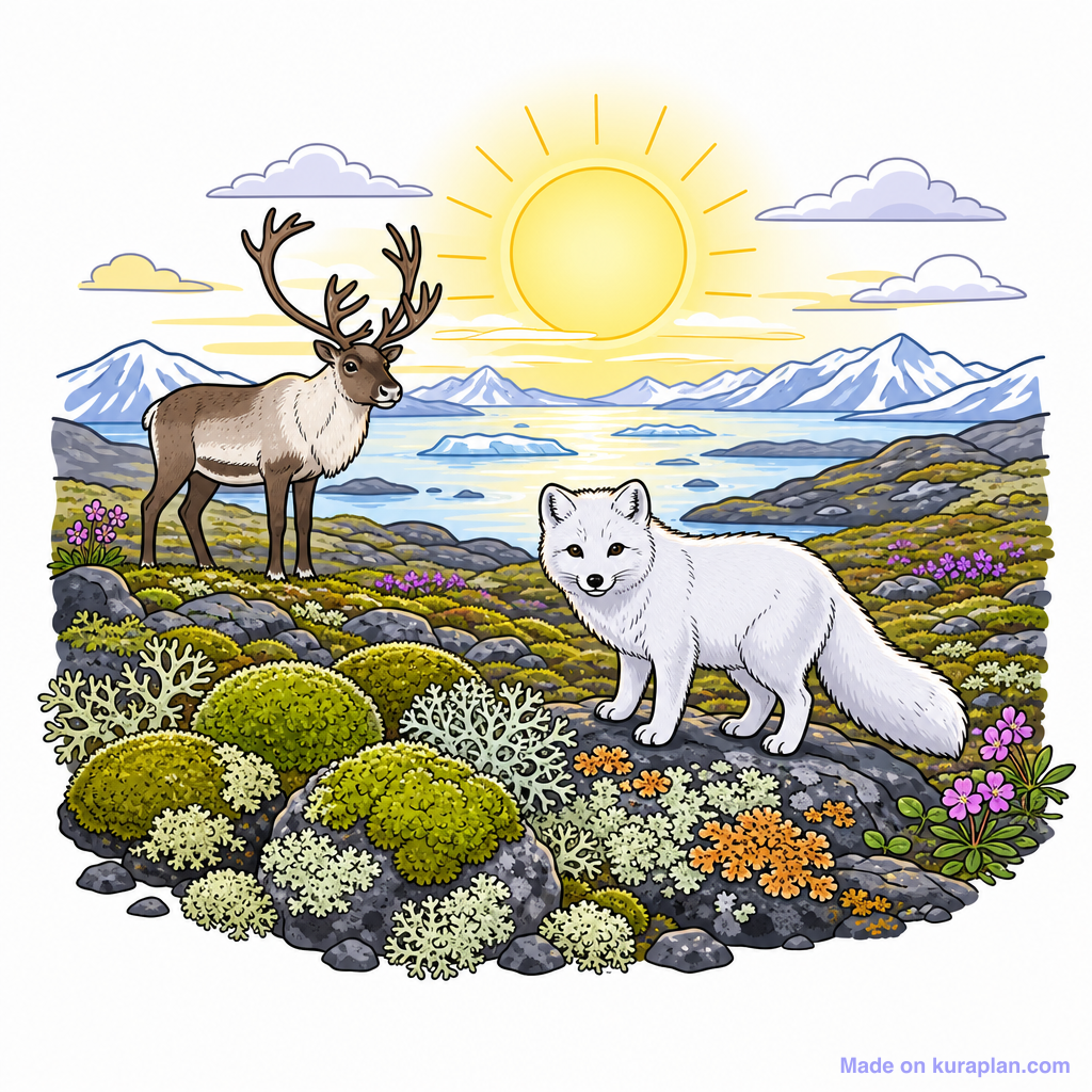
Major Arctic Landforms
Arctic Tundra - flat, treeless plains Glaciers and Ice Sheets - massive frozen rivers of ice Permafrost - permanently frozen ground Arctic Islands - land surrounded by icy waters Icebergs - floating chunks of glacial ice

How Environment Shapes Arctic Land
{"left":"Extremely cold temperatures year-round\nVery little precipitation (like a cold desert)\nStrong winds and harsh weather\nShort summer growing season","right":"Permafrost prevents deep plant roots\nGlacial movement carves valleys and islands\nIce and snow cover most surfaces\nFreeze-thaw cycles break apart rocks"}

Arctic Explorer Challenge
Match each landform to its description Draw or write how environment shaped it Work with a partner if needed I can explain how cold conditions create these landforms

Real Arctic Examples
Baffin Island - Canada's largest island with glaciers and tundra Ellesmere Island - northernmost land with ice caps Mackenzie River Delta - frozen wetlands and permafrost Arctic Archipelago - thousands of islands shaped by ice

Key Learning
The Arctic environment creates unique landforms through extreme cold, permafrost, and glacial action that cannot be found anywhere else in Canada.
Free Tundra images
Drop these illustrations straight into your lesson.