NZ Blank Map for Labels — free printable clipart
Free geography resource for teachers · CC BY-NC 4.0
About this illustration
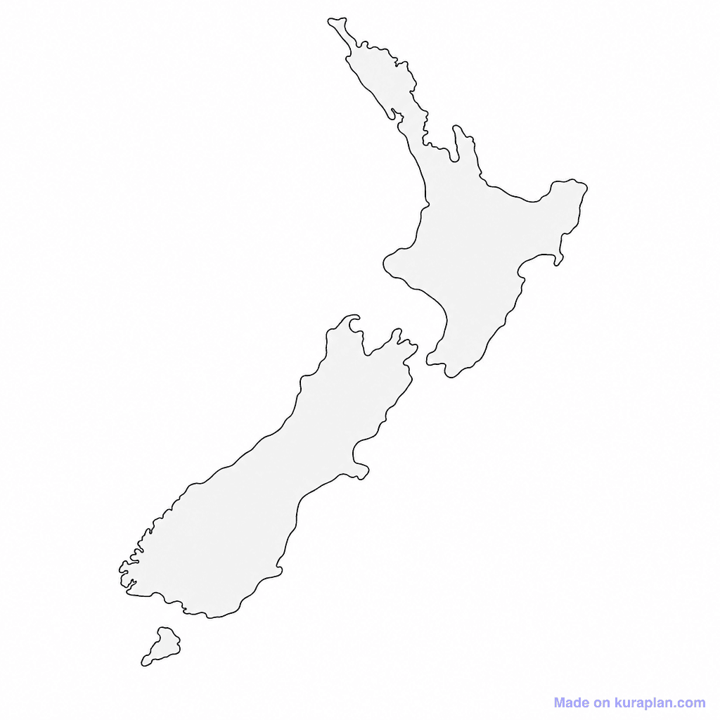
This image displays a clear, simplified outline map of New Zealand, featuring the North Island, South Island, and Stewart Island/Rakiura, filled with a light grey tone against a white background. It teaches students about New Zealand's geography, island structure, and location within Oceania, specifically relevant to the NZ curriculum. This versatile map is suitable for various classroom activities, including labeling exercises for cities, regions, or physical features, drawing on, or as a base for a worksheet or slide presentation on New Zealand's geography. The visual style is a flat, high-contrast illustration of a country map outline.
How to use
- 1Right-click the image and choose “Save image as”, or use the download button.
- 2Use it in your classroom worksheets, slides or printables — free under CC BY-NC 4.0.
- 3Attribute as “Image by Kuraplan” or link back to kuraplan.com. Not for commercial resale.
Make worksheets with images like this
Kuraplan's editor has the full image library built in — drag-and-drop into a worksheet in seconds.
Browse by subject
18 subjects · 5,159 free illustrations
Maths
1,912 free illustrations
Cross-Curricular
839 free illustrations

Science
818 free illustrations
English
625 free illustrations

Health
201 free illustrations
social_studies
178 free illustrations

Religious Education
140 free illustrations
Music
130 free illustrations
Art
66 free illustrations
Drama
56 free illustrations
social_sciences
48 free illustrations
History
47 free illustrations
arts
26 free illustrations

pe
25 free illustrations
te_reo_maori
24 free illustrations

tech
16 free illustrations
culture
7 free illustrations

languages
1 free illustrations